Become an urban planner and explore how cities grow, change, and balance the needs of the people who live and work there.
What makes a city a great place to live? How do planners decide where homes, businesses, parks, and roads should go? And what happens when different people want very different things from the same space?
Start by investigating how zoning, land use, transportation, and environmental concerns shape a city. Then, take on a zoning challenge as you map out a city district, weighing the tradeoffs between housing, businesses, public spaces, and green space. Add roads, public transit, and pedestrian routes as you explore how transportation choices can connect or divide a community. Along the way, take part in a town hall meeting where you’ll represent different stakeholders, debate a proposed project, and work toward a solution that the community can support. Finally, bring your ideas to life by building a scale model of your city and pitching your plans to a planning board.
What you'll do
Map the City
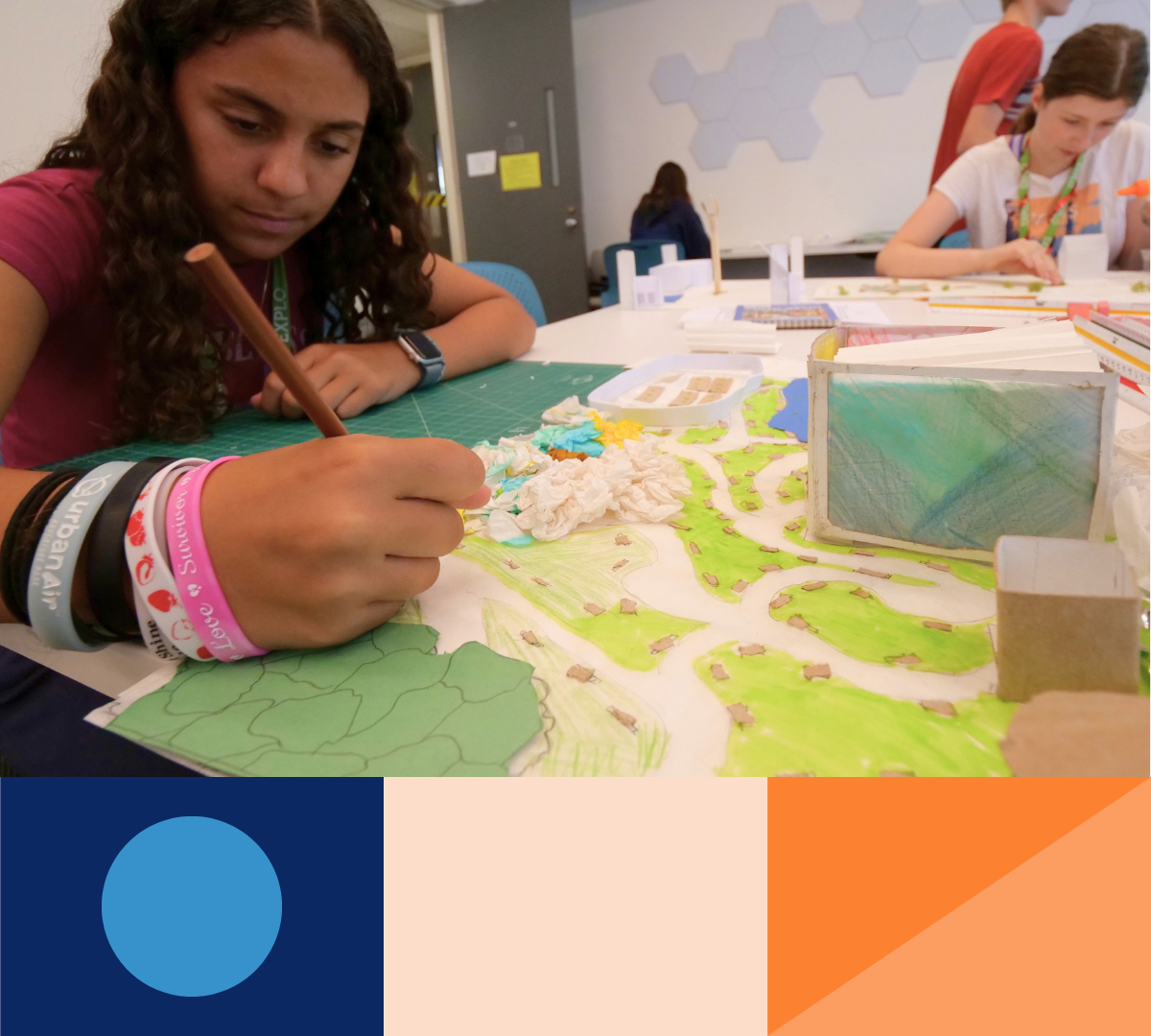
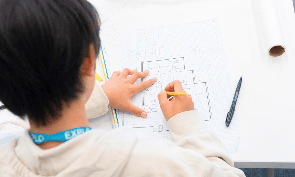
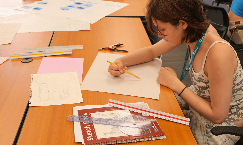
Explore how zoning and land use shape a community, then map out a city district with space for homes, businesses, parks, and other essential services.
Get Moving
Design roads, public transit, bike paths, and pedestrian routes. Discover how transportation choices affect how people move through and experience a city.
Take it to Town Hall
Step into the role of a resident, business owner, environmental advocate, or city official. Debate a proposed project, negotiate competing priorities, and vote on what should happen next.
Build Your City
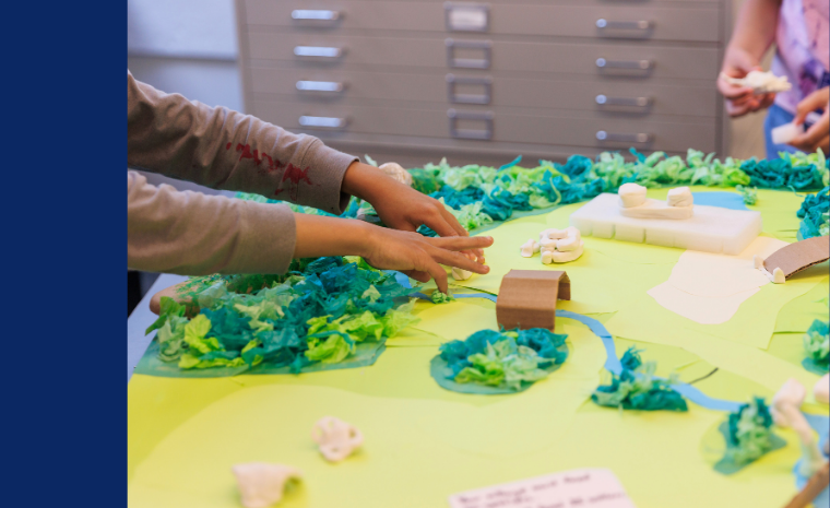
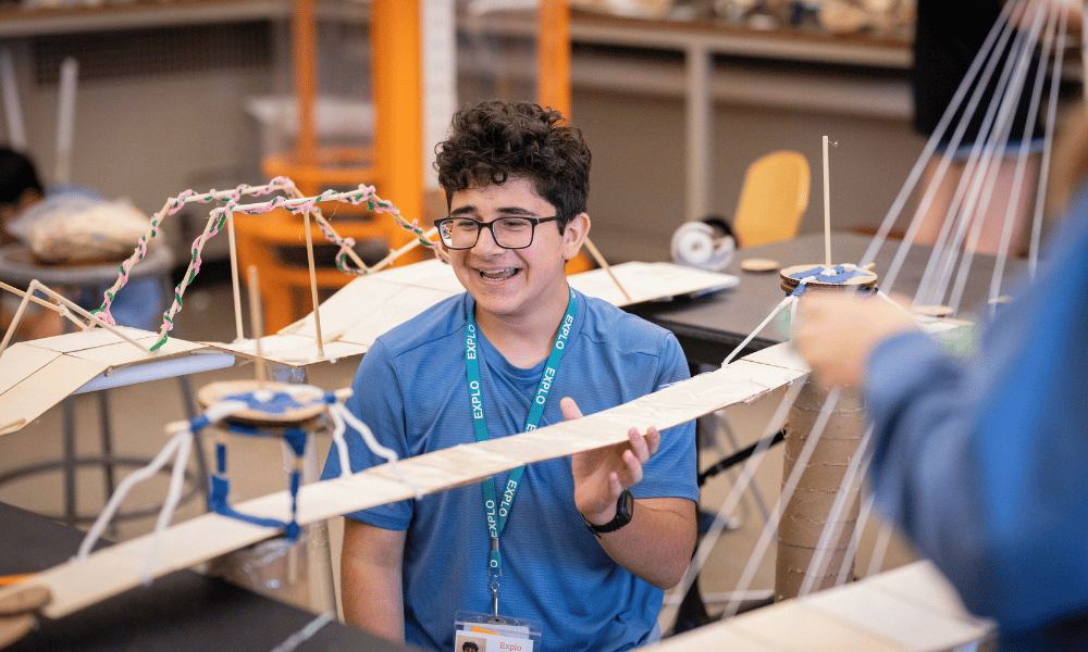
Turn your plans into a scale model of a livable, functional city. Then pitch your design to a planning board and explain the choices that shaped your community.